
Designing for Equity III: Transforming Education Projects


Grace Corsi
Planning Leader
Grace is a planning leader for our firm, helping project teams across the firm’s market sectors to make data-informed design decisions with insights from planning tools.
Email 213-204-5277This article is the third in a four-part series that dives into how Geographic Information Systems can be used in designing for equity. Part one introduced GIS principles, and part two shared a guide to data and GIS, both through an equity lens. In this third segment, we transition from concepts to practical applications through educational initiatives that illustrate the impact of equity-based GIS, including examples of GIS, in enhancing the experiences of students and their communities. Be sure to read until the end for a collection of thought-provoking questions that clients can pose to their designers or planners.
AUSTIN INDEPENDENT SCHOOL DISTRICT
Interrupting Root Causes of Systemic Inequality
Austin ISD’s comprehensive planning process, driven by equitable design, successfully rebuilt trust with diverse communities. By integrating data analysis and actively engaging over 900 students, staff, and committed community members from historically marginalized groups, we developed a strategic approach that genuinely reflected their expressed needs and priorities. After rigorously defining a multi-faceted data approach, sourcing qualified sets, and mapping then analyzing it layer by layer, it was found that 20% of the district’s schools are experiencing high concentrations of historically underserved students, high neighborhood vulnerability, and poor facility conditions. Interactive data tools like this StoryMap built trust and transparency by putting data directly in community hands. When the historic $2.44 billion bond passed with 80% of funds invested in underserved schools and neighborhoods, it was a community-driven victory for students and their families, informed by data. “I’ve never seen…such an equity-focused bond. I never thought I would see that. I’m pretty speechless,” says LaTisha Anderson, Austin ISD’s District One Trustee.
ELGIN AREA SCHOOL DISTRICT U46
Neighborhood Schools: Consolidating Equitably
Elgin Area School District U46 – the second-largest district in Illinois, serving three counties, eleven communities, and over 37,000 students – was facing declining enrollment and underutilized facilities. Our team used GIS to show how school facilities can act as community resources, model planning scenarios, and ensure equitable impacts for students and communities. Our analysis revealed that many of U46’s historic schools with deteriorating facilities and undersized sites are in urban cores that serve low-income communities and communities of color. While a traditional facilities plan would have consolidated these schools based on facility condition alone, our analysis brought new awareness to the district by demonstrating their importance as community resources. In this example of GIS, innovative long-range strategy and a successful bond initiative balances the impact of consolidation while introducing a new middle school in an area that previously faced significant access inequities.

PUETRO RICO DEPARTMENT OF EDUCATION
Understanding Resource Access with Network Analysis
A key part of educational equity is students’ access to quality schools. In our long-range planning work for the Puerto Rico Department of Education, we used network analysis – a calculation of travel distances between connected places – to route over 250,000 students to the district’s 850 schools. This allowed us to understand current student choices: how far were students traveling to access desired programs? How much time did they spend getting to school? It also meant we could weigh future facility scenarios based on student travel impact: if a school was moved or consolidated, how would the network change? Network analysis led to more equitable investment recommendations that would prioritize neighborhood access to schools.

SACRAMENTO CITY UNIFIED SCHOOL DISTRICT
Disrupting Historic Patterns
In a district grappling with the repercussions of previous school closures, equity-based GIS principles enabled our team to shift from a conventional buildings-focused strategy to one that acknowledges historical injustices and prioritizes equity through a fair investment framework. Our GIS analysis and conversations with community members revealed that traditional planning had led to a pattern of inequitable divestment: past school closures were concentrated in communities of color. GIS data overlays highlighted schools serving high segregation and poverty neighborhoods, along with high enrollments of underserved student groups, to prioritize capital outlay projects. Eleven of the most vulnerable schools are first to receive the most transformative projects outlined in the $750 million passed bond. Nine of these schools would not have been considered in a traditional plan.

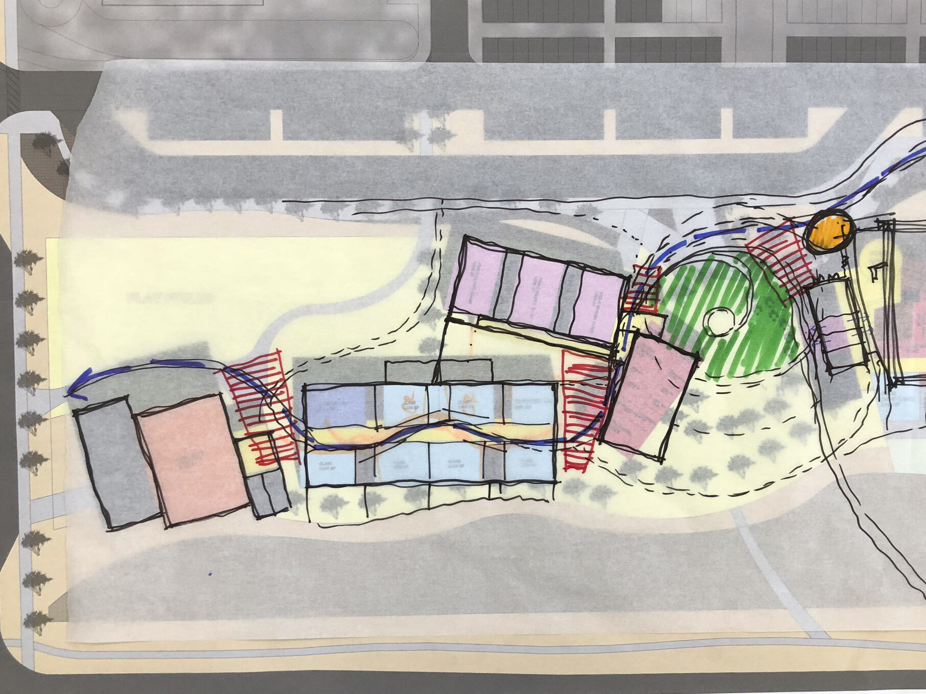
CAMPUS PLANNING PROJECTS
Place-based Survey Mapping
Designing for equity considers not only quantitative data but qualitative data about the experiences of communities. Place-based surveys allow design teams to collect and visualize on a map location-specific data about peoples’ experiences. Our higher education experts use specialized GIS survey tools to capture the spatial aspects of questions like: “What is your favorite place to study?” or “Where do you go to socialize with others?” or “Where do you feel most comfortable on campus?” Collecting information about positive experiences – things that work well in a campus or community – is one way for planners to uplift and maintain these aspects as we envision the future. Seeing “hotspots” on a map often reveals connections that may have gone unnoticed in a set of discrete data points.
Continuing a Conversation
Interested in how GIS can inform equity in your education project? Here are a few questions you can ask designers and planners to continue the conversation:
- How will GIS help us understand the neighborhood and community equity impacts of your proposed design or planning solution?
- How will you look beyond facility data to make informed investment recommendations that will have the most transformative value?
- How can GIS help us to center student voices and data in our decision-making about educational spaces?
- How can an analysis of neighborhood resources help you determine where our campus or school can fill the gaps to sustain a healthy community?
Join us for part four for more equity-based examples of GIS, including a thriving mixed-use district, a community arts organization, and a municipality’s county-wide real estate assets.
Learn more about DLR Group’s commitment to equity inside our walls, in our industry, and in our design work.
In the Spotlight
Planning


Ideas
Recommended Reads


